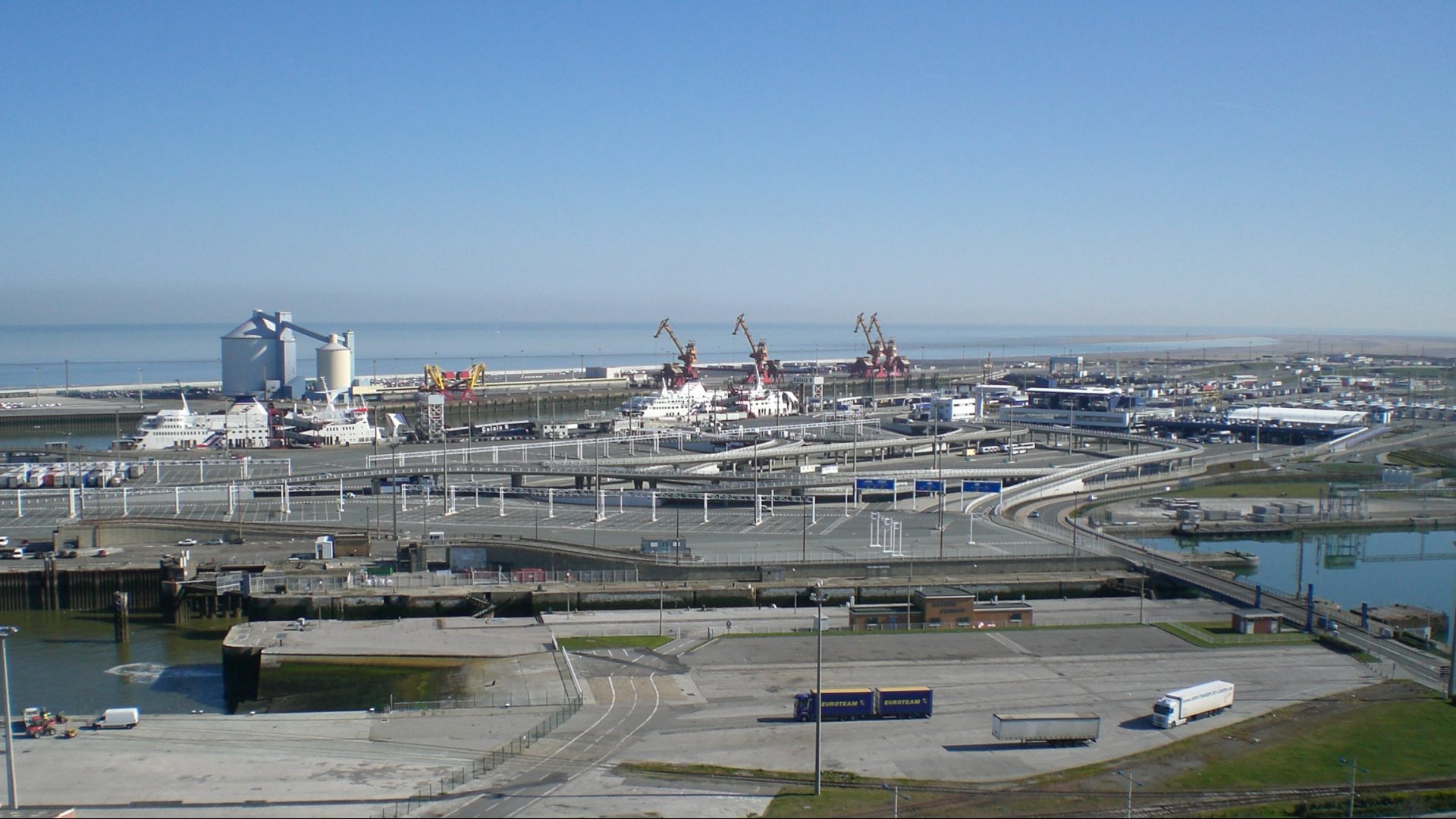
The Port of Calais Expansion
NAUTIS USER CASE
The Port of Calais Expansion

Can you introduce the Port of Calais expansion project?
The extension of the Port of Calais, which started in 2015, will be constructed to the north of the existing port. It consists of several maritime works including a 3.3 km long breakwater, a harbor basin, an approach channel and several ferry piers. Arcadis leads the engineering work from the final to the detailed design and performs site supervision during construction.
What led you to use the maritime simulator in this project?
For supporting the design and operations of the planned ferry terminal, several nautical studies were carried out to evaluate the feasibility and safety of arrival, (de-)berthing and departure of the ferries in extreme (wind) conditions.
What problems were you trying to solve with a maritime simulator?
Optimization of the design from a nautical point of view reduces capital and operational costs and at the same time it improves efficiency and minimizes the risk of accidents.
In more detail we were:
- Evaluating and optimizing the preliminary layout of the maneuvering areas (approach channel, port basin, turning circles and berthing areas), as well as establishing the limiting conditions for safe maneuvering.
- Establishing the final nautical layout and performing the validation of this layout (maneuvering spaces, safety of maneuvers and required sailing times).
- Assessing the possibilities of simultaneous maneuvers of ships in the port.
How do realistic visuals/graphics facilitate in this project?
In this project it was especially important to facilitate stakeholder meetings to discuss and validate the layout between port authority, pilots, shipping lines, contractor and design engineers. The 3D visuals ensure a better sharing of information with other participants of the simulation and therefore greatly improved the validation process.
How easy was it to integrate and later upgrade the visuals to the simulator?
The integration of our 2D real-time maneuvering simulator SHIP-Navigator with the 3D visuals of VSTEP went smoothly from the beginning. Our software engineers were in direct contact with VSTEP professionals and few (minor) obstacles were dealt with immediately.
What have you been able to achieve since using the simulator?
We are using the 3D visuals mainly when clients are visiting us to validate the port layouts we design for them. With the 3D visuals we can better describe possible problems or bottlenecks that we are confronted with during the design process. Making the design optimizations faster accepted.

Senior Specialist at ARCADIS
Lutz Schweter

VSTEP’s solutions enabled the optimization of port design from a nautical POV, reducing capital and operational costs and at the same time improves efficiency and minimizes the risk of accidents.

Senior Specialist at ARCADIS
Lutz Schweter

VSTEP’s solutions enabled the optimization of port design from a nautical POV, reducing capital and operational costs and at the same time improves efficiency and minimizes the risk of accidents.